- Software - Simulation >
- Software >
- Analysis software >
- esri
Esri analysis software
{{product.productLabel}} {{product.model}}
{{#if product.featureValues}}{{product.productPrice.formattedPrice}} {{#if product.productPrice.priceType === "PRICE_RANGE" }} - {{product.productPrice.formattedPriceMax}} {{/if}}
{{#each product.specData:i}}
{{name}}: {{value}}
{{#i!=(product.specData.length-1)}}
{{/end}}
{{/each}}
{{{product.idpText}}}

Imagery hosting, streaming, and analysis in the cloud ArcGIS Image for ArcGIS Online is a complete software as a service (SaaS) offering for hosting, analyzing, and streaming imagery and raster collections. ...
ENVIRONMENTAL SYSTEMS RESEARCH INSTITUTE, INC.

ArcGIS Online is a secure and scalable software as a service (SaaS) for your geospatial workflows. Improve decision-making by collecting and managing data, analyzing it, and easily sharing maps and apps within a connected ...
ENVIRONMENTAL SYSTEMS RESEARCH INSTITUTE, INC.

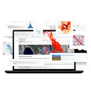
Spatial analysis meets data science ArcGIS Notebooks provide a Jupyter notebook experience optimized for spatial analysis. Combine industry-leading spatial analysis algorithms with ...
ENVIRONMENTAL SYSTEMS RESEARCH INSTITUTE, INC.

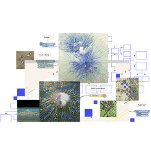
... applied to streams of features that are connected how you want. Read any number of data sources, design their interaction or an analysis, then create or update the destination datasets you need. Talk industry standards Governments ...
ENVIRONMENTAL SYSTEMS RESEARCH INSTITUTE, INC.

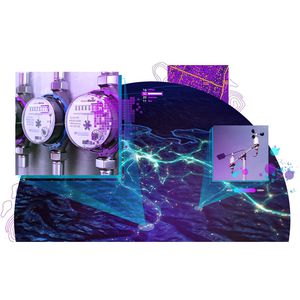
Gain situational awareness of your real-time streaming data with ArcGIS GeoEvent Server, part of the Esri Geospatial Cloud. Whether you are tracking moving assets, monitoring stationary sensors, or following social media feeds, you can ...
ENVIRONMENTAL SYSTEMS RESEARCH INSTITUTE, INC.

ArcGIS LocateXT is entity extraction software for analysis of unstructured data, enabling you to quickly distill location information from massive amounts of data. Its sense-making capability automatically ...
ENVIRONMENTAL SYSTEMS RESEARCH INSTITUTE, INC.

... exploratory analysis, investigate your data by interactively creating graphics and editing analysis parameters on-the-fly. Interactive tools help you to create analytical objects by clicking on the scene ...
ENVIRONMENTAL SYSTEMS RESEARCH INSTITUTE, INC.

... an extension for ArcGIS Pro, improves geographic information system (GIS) capabilities with 3D data creation, editing, and analysis. It includes tools to enhance data quality and interoperability, leverages machine learning ...
ENVIRONMENTAL SYSTEMS RESEARCH INSTITUTE, INC.

... regulatory reporting. You can manage Electronic Terrain and Obstacle Data (eTOD) and create 3D surfaces for airport obstacle analysis. Aviation Airports also allows you to create and manage signs and markings and compare ...
ENVIRONMENTAL SYSTEMS RESEARCH INSTITUTE, INC.

... that leverages the power of ArcGIS. Its ability to support a broad range of data types, combined with the visualization and analysis tools in ArcGIS, increases the value of your bathymetry data. Bathymetry offers intuitive ...
ENVIRONMENTAL SYSTEMS RESEARCH INSTITUTE, INC.
Your suggestions for improvement:
Subscribe to our newsletter
Receive updates on this section every two weeks.
Please refer to our Privacy Policy for details on how AeroExpo processes your personal data.
- Brand list
- Manufacturer account
- Buyer account
- Our services
- Newsletter subscription
- About VirtualExpo Group


Please specify:
Help us improve:
remaining