
{{product.productLabel}} {{product.model}}
{{#if product.featureValues}}{{product.productPrice.formattedPrice}} {{#if product.productPrice.priceType === "PRICE_RANGE" }} - {{product.productPrice.formattedPriceMax}} {{/if}}
{{#each product.specData:i}}
{{name}}: {{value}}
{{#i!=(product.specData.length-1)}}
{{/end}}
{{/each}}
{{{product.idpText}}}

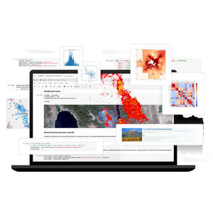
ArcGIS Online is a secure and scalable software as a service (SaaS) for your geospatial workflows. Improve decision-making by collecting and managing data, analyzing it, and easily sharing maps and apps within a connected ...
ENVIRONMENTAL SYSTEMS RESEARCH INSTITUTE, INC.

Imagery hosting, streaming, and analysis in the cloud ArcGIS Image for ArcGIS Online is a complete software as a service (SaaS) offering for hosting, analyzing, and streaming imagery and raster collections. Save on ...
ENVIRONMENTAL SYSTEMS RESEARCH INSTITUTE, INC.

... build an indoor geographic information system (GIS) and put the power of indoor mapping, wayfinding, and space management software into everyone’s hands. With three license levels available, ArcGIS Indoors Pro, Indoors ...
ENVIRONMENTAL SYSTEMS RESEARCH INSTITUTE, INC.
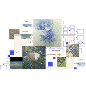
Spatial analysis meets data science ArcGIS Notebooks provide a Jupyter notebook experience optimized for spatial analysis. Combine industry-leading spatial analysis algorithms with open-source Python libraries to build precise spatial ...
ENVIRONMENTAL SYSTEMS RESEARCH INSTITUTE, INC.
The ArcGIS Data Interoperability extension is a simple solution for complex integrations. Design data movement among hundreds of systems and apps using a visual programming interface. Automate the no-code transformation of your data across ...
ENVIRONMENTAL SYSTEMS RESEARCH INSTITUTE, INC.
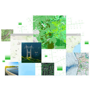
Whether you manage resources for a nation or facility assets for a local community, the quality of your source data is crucial to your geographic information system (GIS) investment. ArcGIS Data Reviewer automates, simplifies, and improves ...
ENVIRONMENTAL SYSTEMS RESEARCH INSTITUTE, INC.

... geodatabase templates tailored to the default INSPIRE data models. Publish INSPIRE View, Download, and Discovery services using software tailored toward the current INSPIRE Directive technical guidance. Who is it for? ArcGIS ...
ENVIRONMENTAL SYSTEMS RESEARCH INSTITUTE, INC.

Gain situational awareness of your real-time streaming data with ArcGIS GeoEvent Server, part of the Esri Geospatial Cloud. Whether you are tracking moving assets, monitoring stationary sensors, or following social media feeds, you can ...
ENVIRONMENTAL SYSTEMS RESEARCH INSTITUTE, INC.

ArcGIS LocateXT is entity extraction software for analysis of unstructured data, enabling you to quickly distill location information from massive amounts of data. Its sense-making capability automatically identifies ...
ENVIRONMENTAL SYSTEMS RESEARCH INSTITUTE, INC.

Mission management software that combines situational awareness with command and control A geographic approach to command and control ArcGIS Mission is an all-inclusive command and control system for tactical operations ...
ENVIRONMENTAL SYSTEMS RESEARCH INSTITUTE, INC.
Please specify:
Help us improve:
remaining