
- Products
- Catalogs
- News & Trends
- Exhibitions
Professional UAV MAX-8mappingoctorotor
Add to favorites
Compare this product
Characteristics
- Domain
- professional
- Applications
- mapping
- Type
- octorotor
Description
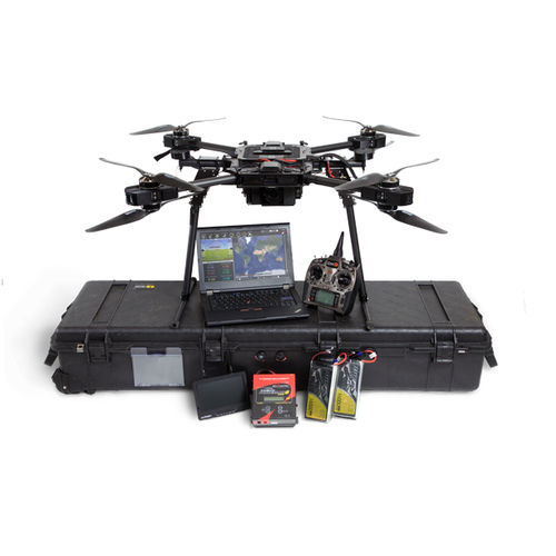
MAX-8 Utility UAV v1.2
Photo Mapping Package
Starting at $19,495.99
Now with improved vibration isolation for critical flight components and custom CNC mounting hardware, the MAX-8 V1.2 is even more rigid and reliable for repeated autonomous take-off-to-landing missions !
The MAX-8 was designed from the bottom-up to be a robust and easily transported aircraft for surveyors interested in photogrammetry and LiDAR. It is a compact design that can fold to fit in a rugged case and deployed in minutes. The Photo Mapping Package comes loaded with everything you need to get started with photogrammetry on a professional level.
*Prices are pre-tax. They exclude delivery charges and customs duties and do not include additional charges for installation or activation options. Prices are indicative only and may vary by country, with changes to the cost of raw materials and exchange rates.
