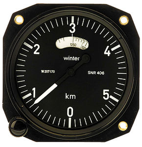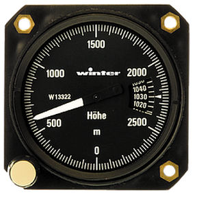
Analog altimeter 4 FGH 40feetfor aircraft
Add to favorites
Compare this product
Characteristics
- Display
- analog
- Measurement unit
- feet
- Applications
- for aircraft
Description
Prior to a cross-country flight, the altimeter is usually set to field elevation. Atmospheric pressure reduced to pressure at sea level (QNH pressure) is then indicated in the Kollsman window. Throughout the flight, the altimeter reads height above sea level. In many instances, it is also desirable to know one’s relative altitude above a defined landmark, as well as height above sea level. On a final approach, for example, it es essential to know one’s height above the landing field at any given time. Once the arrow on the rotatable scale ring has been set to the elevation of the landing field, altitude above the field can be read off the gradations at any time until touchdown (redaing corresponds to the QFE setting). Further applications include the safe crossing of ground obstacles (mountain ranges) or control zones, cases in which the difference in altitude can be read directly once the ring has been correctly adjusted. The scale ring has also proved particularly useful for destination approach calculations in performance gliding.
Catalogs
PRICE LIST 2017
15 Pages
Related Searches
- Anemometer
- Altimeter
- Aircraft altimeter
- Analog altimeter
- Aircraft airspeed indicator
- Analog anemometer
- Aircraft clock
- Feet altimeter
- Vertical speed indicator
- Aircraft vertical speed indicator
- Analog vertical speed indicator
- Electronic variometer
- Meters altimeter
- Aircraft magnetic compass
- Magnetic compass
- Free flight altimeter
- Panel mount magnetic compass
*Prices are pre-tax. They exclude delivery charges and customs duties and do not include additional charges for installation or activation options. Prices are indicative only and may vary by country, with changes to the cost of raw materials and exchange rates.


