- Production - Materials - Metrology
- Test equipment - Metrology
- Analog magnetometer
- Watson Industries, Inc.
Analog magnetometer GCM-3603-axisfor the aeronautical industry
Add to favorites
Compare this product
Characteristics
- Type
- analog
- Other characteristics
- 3-axis
- Domain
- for the aeronautical industry
Description
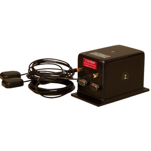
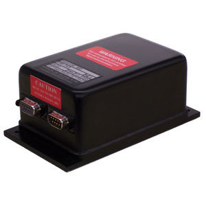
Featuring dual antenna GPS and a fluxgate magnetometer, the GCM-360 is the ideal tool for mapping local magnetic fields and geological surveys.
Features:
Solid State, Strapdown System
GPS Heading Reference
Latitude & Longitude Output
Rugged, High Reliability
Vibration Resistant
PC Heading Calibration
Two Year Limited Warranty
Engineering Support
The GCM-360 is a unique product for defining the magnetic field of the earth. This unit provides heading, GPS coordinates and sensor information. It includes a high accuracy triaxial fluxgate magnetometer and a triaxial accelerometer. This sensor is equipped with a dual antenna GPS system that provides heading data even when not in motion. This unit will output several data items including GPS true north heading, latitude, longitude, magnetic heading, X, Y, and Z axis magnetic field. An antenna spacing of 0.500 meters ±5mm is required. The “fore” antenna is placed 0.5 meter ahead of the “aft” antenna on a line parallel to the x axis of the sensor package.
Catalogs
No catalogs are available for this product.
See all of Watson Industries, Inc.‘s catalogs*Prices are pre-tax. They exclude delivery charges and customs duties and do not include additional charges for installation or activation options. Prices are indicative only and may vary by country, with changes to the cost of raw materials and exchange rates.


