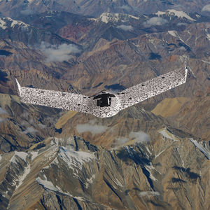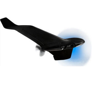
Professional UAV eBee Xmappingfixed-wingelectric motor

Add to favorites
Compare this product
fo_shop_gate_exact_title
Characteristics
- Domain
- professional
- Applications
- mapping
- Type
- fixed-wing
- Engine type
- electric motor
- Maximum load
10 kg
(22 lb)
Description
Lightweight mapping drone for large coverage and sharp data
eBee X offers 90-minute flights, RTK, PPK, online training, eMotion flight planning software, and more.
Perform professional mapping operations, including flying safely over people and BVLOS, with the NDAA-compliant eBee X drone.
Fly, map and process. That easy.
3D, RGB, multispectral and thermal cameras
eBee X is compatible with a wide range of interchangeable photogrammetry cameras that capture reliable aerial imagery – from 3D models to orthomosaics – to suit every mapping job.
With the on-demand RTK / PPK capabilities of survey drone eBee X, you can gather data without ground control points (GCPs) while maintaining a GSD down to 1.5 cm / 0.6 in.
Operate safely within more regulatory frameworks thanks to the eBee X’s light weight, which extends your operational possibilities – BVLOS and flights over people – and range.
eBee X has the best ratio energy / MTOW compared to heavier VTOLs.
Efficiently map up to 500 ha / 1,235 ac while flying at 120 m / 400 ft eBee X flight time of up to 90 min* makes it the perfect drone for covering large areas.
*With endurance battery and S.O.D.A. camera.
RTK and PPK allow you to ensure more reliability with the accuracy obtained, without ground control points. The eBee X professional drone is compatible with the industry’s leading base stations.
Our R&D engineers have designed a shock absorbent drone fuselage with an underbelly made of reinforced polypropylene woven mesh.
We’ve prepared for U.S. and European drone regulations with eBee X, featuring built-in FAA-approved Remote ID and EU C2 and C6 labeling.
VIDEO
Catalogs
eBee X
2 Pages
*Prices are pre-tax. They exclude delivery charges and customs duties and do not include additional charges for installation or activation options. Prices are indicative only and may vary by country, with changes to the cost of raw materials and exchange rates.


