
- Products
- Catalogs
- News & Trends
- Exhibitions
Control software flight planningfor dronesreal-time
Add to favorites
Compare this product
fo_shop_gate_exact_title
Characteristics
- Function
- control, flight planning
- Applications
- for drones
- Type
- real-time
- Deployment mode
- for tablet computers
Description
The Robota GCS (Ground Control System) is the intuitive interface that commands our vehicles and Goose autopilot.
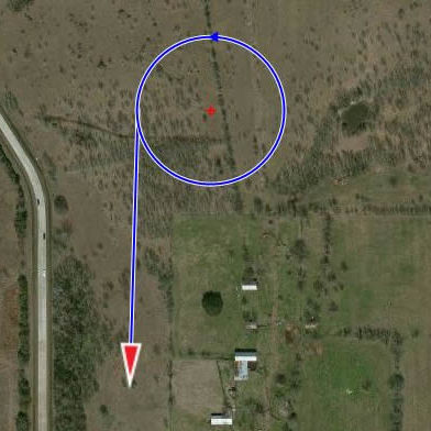
Flight planning can be performed by simply clicking waypoints on a map, or by dropping search patterns over the area of interest, just define overlap and altitude. Easily make changes to the flight plan and landing while in flight and send commands to the vehicle. Alternatively, a flight plan can be imported from Google Earth with a KMZ file. Select the preferred background map, Microsoft Satellite, Open Street Map or overlay custom images, even add a map that was processed by Agisoft Photoscan. Flight plan statistics are also presented to indicate the flight length and duration to facilitate planning.
Real time telemetry of the UAV’s vitals, battery remaining, altitude, airspeed and fail-safe conditions are all clearly displayed and logged.
*Prices are pre-tax. They exclude delivery charges and customs duties and do not include additional charges for installation or activation options. Prices are indicative only and may vary by country, with changes to the cost of raw materials and exchange rates.


