- Production - Materials - Metrology
- Test equipment - Metrology
- Non-contact laser scanner
- RIEGL LASER MEASUREMENT SYSTEMS GMBH

- Company
- Products
- Catalogs
- News & Trends
- Exhibitions
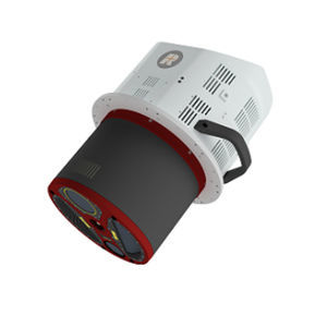
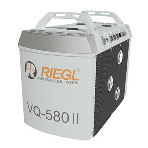
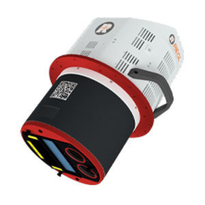
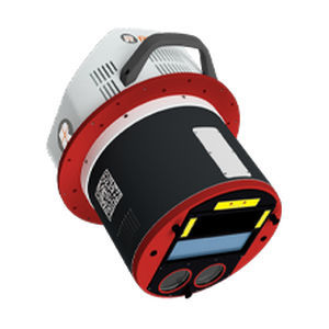
Airborne laser scanner VQ-880-G IInon-contactfor aeronauticsmeasurement
Add to favorites
Compare this product
fo_shop_gate_exact_title
Characteristics
- Type
- non-contact
- Other characteristics
- for aeronautics, measurement, airborne
- Distance range
Max.: 1,800 m
(5905'06" )Min.: 0 m
(0'00" )- Accuracy
25 mm
(1 in)
Description
The design of the VQ-880-G II topo-bathymetric airborne laser scanning system allows flexible application of the integrated, factory-calibrated high-end GNSS/IMU system and of up to two cameras to meet specific requirements. Complemented by a RIEGL data recorder, the VQ-880-G II LiDAR system can be installed on various platforms in a straightforward way.
The RIEGL VQ-880-G II carries out laser range measurements for high resolution surveying of underwater topography with a narrow, visible green laser beam, emitted from a powerful pulsed laser source. Subject to clarity, at this particular wavelength the laser beam penetrates water enabling measurement of submerged targets.
Main Features
designed for combined topographic and hydrographic airborne survey
green laser channel with up to 700kHz measurement rate
IR laser channel with up to 279kHz measurement rate and improved ranging performance
high accuracy ranging based on echo digitization and online waveform processing with multiple-target capability
multiple-time-around processing for straightforward mission planning and operation
concurrent full waveform output for all measurements for subsequent full waveform analysis
high resolution due to high measurement rate
integrated inertial navigation system
up to two integrated digital cameras
compatibility with stabilized mounting platforms
Main Applications
Mapping of Coastal Lines
Coastline and Shallow Water Mapping
Habitat Mapping
Surveying for Hydraulic Engineering
Hydro-Archaeological-Surveying
Catalogs
RIEGL VQ-880-G II
6 Pages
Other RIEGL LASER MEASUREMENT SYSTEMS GMBH products
Airborne Laser Scanning
*Prices are pre-tax. They exclude delivery charges and customs duties and do not include additional charges for installation or activation options. Prices are indicative only and may vary by country, with changes to the cost of raw materials and exchange rates.


