- Software - Simulation
- Software
- Viewer software
- Phoenix LiDAR Systems
Data collection software viewerLIDARfor aeronautics

Add to favorites
Compare this product
fo_shop_gate_exact_title
Characteristics
- Function
- data collection, viewer, LIDAR
- Applications
- for aeronautics
- Deployment mode
- cloud
- Processor
- NVIDIA
Description
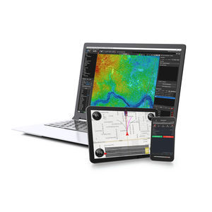
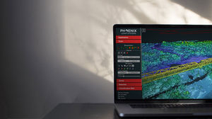
Phoenix Cloud Viewer displays detailed LiDAR data that can be a challenge for some computers. For the best experience:
We recommend Chrome/Safari with few or no other tabs open
Once the point cloud opens, click the menu and set “point budget” to the highest available value
Want a smoother experience? Set your browser to use your NVIDIA graphics card, if equipped
This colored point cloud features data from our entry-level Scout system with dual RGB cameras, which covered 120 degrees of swath and offered excellent oblique color. At 40 meters AGL, the Scout mapped the area with accuracy within 1 cm. This system is ideal for applications requiring oblique imagery, like open pit mining, etc.
System: Scout + Dual RGB Cameras
AGL: 40 m (approx.)
Speed: 6 m/s (approx.)
We perform strenuous tests on every Phoenix LiDAR system. This point cloud shows data from one of our favorite testing sites, which allows us to scan various types of material, elevation, vegetation, and structures. These real-world scenarios enable our technicians to calibrate each system before delivery to clients.
System: miniRANGER
AGL: 60 m (approx.)
Speed: 36 m/s (approx.)
Part of our ongoing research and development testing new configurations. In this point cloud, our miniRANGER system collects an impressive 300 meters of RGB data in a single flight line. The LiDAR system is flying perpendicular to the concrete structure, and its integrated cameras collect a swath of color data in the center. Try using the ruler tool to measure the swath!
System: miniRANGER
AGL: 40 m (approx.)
Speed: 8 m/s (approx.)
VIDEO
Catalogs
No catalogs are available for this product.
See all of Phoenix LiDAR Systems‘s catalogs*Prices are pre-tax. They exclude delivery charges and customs duties and do not include additional charges for installation or activation options. Prices are indicative only and may vary by country, with changes to the cost of raw materials and exchange rates.


