
- Products
- Catalogs
- News & Trends
- Exhibitions
Control software Airport+aeronautical
Add to favorites
Compare this product
Characteristics
- Function
- control
- Applications
- aeronautical
Description
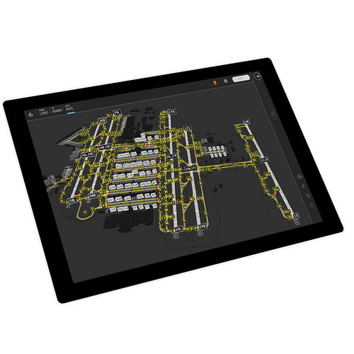
Airport+
Harnessing exclusive high-resolution satellite imagery
Airport+ provides world-wide operators and authorities with reliable and flexible solutions, contributing to improved safety and efficiency in all airport operations.
The EASA LoA Type 1 granted for Runway Mapping Databases are based on national Aeronautical Information Publications. These databases take advantage of exclusive high-resolution satellite images provided by the Intelligence Business Cluster of Airbus Defence and Space.
*Prices are pre-tax. They exclude delivery charges and customs duties and do not include additional charges for installation or activation options. Prices are indicative only and may vary by country, with changes to the cost of raw materials and exchange rates.


