- Drones
- Professional drone
- Recreational UAV
- MikroKopter

- Products
- Catalogs
- News & Trends
- Exhibitions
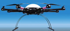
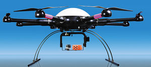
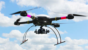
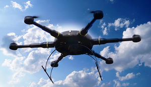
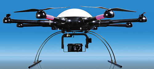
Recreational UAV MK8-3500 Geoaerial photographyrotary winghexacopter
Add to favorites
Compare this product
fo_shop_gate_exact_title
Characteristics
- Domain
- recreational
- Applications
- aerial photography
- Type
- rotary wing, hexacopter
- Maximum load
2 kg, 3 kg
(4.4 lb, 6.6 lb)- Autonomy
32 min
- Maximum altitude
Max.: 5,000 m
(16404'02" )Min.: 0 m
(0'00" )
Description
All-In-One solution in the field of surveying and geodesyAchieving the necessary amount of points with conventional methods of geodesy and object surveying is only possible with enormous efforts of personell expenses and cost. Furthermore there are also risks to personnel and material.Our 6sGEO takes the relevant data in mid-air high above the ground, which makes it possible to effortlessly survey even hard to reach objects. Our solution guarantees an extremely high ground resolution in the range of just few millimeters per pixel.
*Prices are pre-tax. They exclude delivery charges and customs duties and do not include additional charges for installation or activation options. Prices are indicative only and may vary by country, with changes to the cost of raw materials and exchange rates.

