- Software - Simulation
- Software
- Mapping software
- MICROSTEP-MIS
Data management software IMS4 AWDSSmeteorologicalfor airportreal-time
Add to favorites
Compare this product
Characteristics
- Function
- data management, meteorological
- Applications
- for airport
- Type
- real-time, collaborative
Description
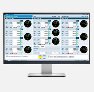
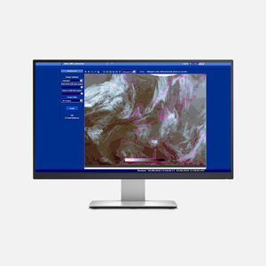
In order to provide the air traffic controllers and meteorologists with the accurate operational information the IMS4 AWDSS processes the real-time data from various sources: local AWOS, ARWIS and LLWAS systems, weather radars, surface observations from the WMO/ICAO exchange networks, meteorological satellites, profilers, etc.
The collaborative, net-centric, and combined picture incorporating seamlessly all aviation relevant weather sources will enable various users at the airport to have access to all relevant information common situational awareness needed for tactical decision support during the flight phases:
Takeoff
Departure
Metering/descent
Final approach
Landing
Having employed state-of-the-art algorithms and models, the system evaluates the general situation, area, airport-specific, stakeholder specific, and runway oriented alerts, using the color status signalization to visualize the hazards, if any and displays stakeholder specific actions (advisories) related to the particular weather hazard.
The current, as well as anticipated operational situation (nowcasting, short term, and long term time horizon), may be characterized by the alerts of the hazardous phenomena, current/anticipated airport/runway operational category, NATO color code or in the other way compliant with the operational procedures of the particular airport.
FEATURES
INTEGRATION OF ALL EXISTING WEATHER INFORMATION
DETECTION, NOWCAST AND FORECAST OF PHENOMENA AFFECTING THE AIRPORT OPERATION
DETECTION AND NOWCASTING ALGORITHMS AND FORECASTING MODELS
DATA INTEGRATION FROM MULTIPLE SOURCES
Catalogs
IMS4 AWDSS
4 Pages
*Prices are pre-tax. They exclude delivery charges and customs duties and do not include additional charges for installation or activation options. Prices are indicative only and may vary by country, with changes to the cost of raw materials and exchange rates.


