- Drones
- Professional drone
- Professional UAV
- microdrones
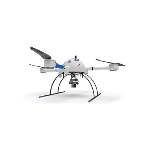
Professional UAV mdMAPPER1000DG mappinginspectionagricultural
Add to favorites
Compare this product
Characteristics
- Domain
- professional
- Applications
- mapping, inspection, agricultural
- Type
- rotary wing
- Engine type
- electric motor
Description
A COMPLETE UAV MAPPING SOLUTION THAT CUTS COST,
SAVES TIME, AND PUSHES LIMITS
– ACCORDING TO THE NEEDS OF YOUR DATA DELIVERABLE PROJECT
Conquer large surveying or mapping projects in a fraction of the time and master your geospatial data by putting direct georeferencing to work for you.
mdMapper1000DG will help you to achieve high levels of data accuracy, cover more ground in one flight, use less people and equipment on jobs – all without using ground control points.
Significantly reduce your time spent on projects. Deliver unparalleled data quality. Become invaluable to your clients’ success.
Direct georeferencing makes sense for pretty much any customer because it will pay for itself quickly and provide your business with dramatic cost savings over time.
With DG, you won’t need to install any ground control points (unless you want to install 1 or 2 to check your work later for quality control). You’ll collect your images and post-process in a fraction of the time. Your projects will require less people and equipment. You’ll safely tackle mapping jobs in dangerous locations.
Most important, you’ll deliver the best possible accuracy on projects where human safety and your reputation is on the line. Best of all, DG is selectable, AFTER data collection, as a post processing option... so you are only paying for it when your client or project needs it.
Microdrones customers asked for a workflow that could deliver excellent results with a handful of ground control points. We listened.
mdMapper1000DG fills an important niche for customers who may not be ready for DG, and are willing to set up 1 – 3 ground control points for their projects;
Catalogs
mdMAPPER1000DG
4 Pages
WORK SMARTER
24 Pages
*Prices are pre-tax. They exclude delivery charges and customs duties and do not include additional charges for installation or activation options. Prices are indicative only and may vary by country, with changes to the cost of raw materials and exchange rates.


