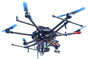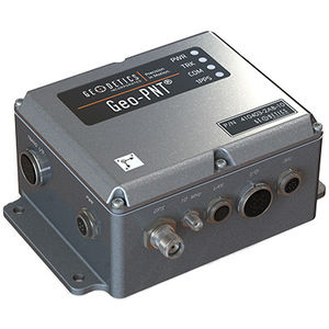
- Drones
- Drone equipment
- Mapping LIDAR laser
- Geodetics, Inc.
Mapping LIDAR laser Geo-MMSfor surveyingfor dronesinfrared
Add to favorites
Compare this product
Characteristics
- Function
- for mapping, for surveying
- Applications
- for drones
- Spectrum
- infrared
- Other characteristics
- 3D
Description
drones, mapping, surveying, infrastructure, Urban Planning, Forestry, Construction, Mining, Agriculture, mobile mapping, MMS, integrated with GPS
Catalogs
Geo-MMS
2 Pages
*Prices are pre-tax. They exclude delivery charges and customs duties and do not include additional charges for installation or activation options. Prices are indicative only and may vary by country, with changes to the cost of raw materials and exchange rates.


