- Software - Simulation
- Software
- Server software
- ENVIRONMENTAL SYSTEMS RESEARCH INSTITUTE, INC.
Server software analysisfor aeronautics3D

Add to favorites
Compare this product
fo_shop_gate_exact_title
Characteristics
- Function
- server, analysis
- Applications
- for aeronautics
- Type
- 3D, 2D
Description
Unlock the full potential of your data
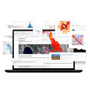
ArcGIS 3D Analyst, an extension for ArcGIS Pro, improves geographic information system (GIS) capabilities with 3D data creation, editing, and analysis. It includes tools to enhance data quality and interoperability, leverages machine learning to automate workflows on point clouds, and provides advanced geoprocessing for deeper insights to enable precise and efficient problem-solving.
Purpose-built tools for three-dimensional analysis
ArcGIS 3D Analyst enhances GIS capabilities with advanced 3D data operations and automated workflows, leading to smarter, faster decision-making.
Enhance data potential
Integrate GIS data with point clouds to enhance digital elevation model (DEM) creation, reduce noise with specialized tools, and ensure data uniformity with industry standards for better analysis and interoperability.
Explore the possibilities with ArcGIS 3D Analyst
Gain a robust suite of tools for creating, editing, and analyzing 3D data, including point clouds, surfaces, and models. 3D modeling allows for precise evaluation and resolution of complex issues, enhancing efficiency and accuracy.
Preprocess data
Incorporate survey data, 3D objects, and various GIS information into your workflows. Use prebuilt tools to enhance data integrity and standardization to meet specific project requirements. Ensure your data adheres to open standards for integration with ArcGIS and other applications.
Edit and maintain content
Ensure the accuracy and integrity of your GIS data by making precise adjustments to geometry, attributes, properties, and object positioning.
VIDEO
Catalogs
No catalogs are available for this product.
See all of ENVIRONMENTAL SYSTEMS RESEARCH INSTITUTE, INC.‘s catalogsOther ENVIRONMENTAL SYSTEMS RESEARCH INSTITUTE, INC. products
Products
Related Searches
- Esri aeronautic software
- Real-time software
- Airport software
- Process software
- Maintenance software
- 3D software
- Online software
- Tracking software
- 2D software
- Web-based software
- Mapping software
- Server software
- Collaborative software
- Image analysis software
- GPS software
- Flight analysis software
- Interoperability software
- LIDAR software
- Administration software
- Advertising software
*Prices are pre-tax. They exclude delivery charges and customs duties and do not include additional charges for installation or activation options. Prices are indicative only and may vary by country, with changes to the cost of raw materials and exchange rates.


