- Software - Simulation
- Software
- Process software
- ENVIRONMENTAL SYSTEMS RESEARCH INSTITUTE, INC.
Data management software ArcGIS Productionautomationfor mappingprocess
Add to favorites
Compare this product
fo_shop_gate_exact_title
Characteristics
- Function
- data management, automation, for mapping, process
- Applications
- for aeronautics
Description
An extension for ArcGIS Pro and ArcGIS Enterprise
Introducing ArcGIS Production Mapping
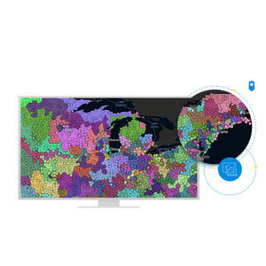
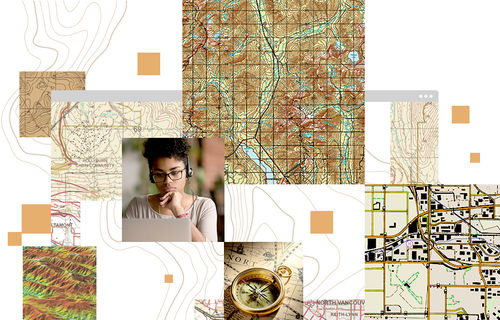
ArcGIS Production Mapping is a configurable extension that optimizes and tailors geographic information system (GIS) production to the way your organization works. It is a specification-driven topographic mapping software for national civilian mapping agencies and authoritative content producers. This extension provides specialized tools to automate the production process from beginning to end through standardization, repeatability, and configuration. This includes tools for data creation and feature extraction from imagery; data management, validation, and visualization; and high-quality, advanced cartographic production and Web GIS integration.
Consistent workflows
ArcGIS Production Mapping ensures consistency across operations by providing task-based workflows built using ArcGIS Workflow Manager. Each workflow is designed as a simple, focused task to be performed by a single technician. This makes it easy for technicians to understand what work they are required to do.
Automated generalization
ArcGIS Production Mapping provides out-of-the-box generalization models to automate the creation of maps, charts, and data products at any scale based on the unique characteristics of different data themes. The models automate multi-scale mapping efforts to produce any output scale of data or cartographic product from a single best scale database.
Cartographic production
ArcGIS Production Mapping provides tools to help in the automation of map production and cartographic processes.
Catalogs
No catalogs are available for this product.
See all of ENVIRONMENTAL SYSTEMS RESEARCH INSTITUTE, INC.‘s catalogsOther ENVIRONMENTAL SYSTEMS RESEARCH INSTITUTE, INC. products
Products
Related Searches
- Esri aeronautic software
- Real-time software
- Airport software
- Process software
- Maintenance software
- 3D software
- Online software
- Tracking software
- 2D software
- Web-based software
- Mapping software
- Server software
- Collaborative software
- Image analysis software
- GPS software
- Flight analysis software
- Interoperability software
- LIDAR software
- Administration software
- Advertising software
*Prices are pre-tax. They exclude delivery charges and customs duties and do not include additional charges for installation or activation options. Prices are indicative only and may vary by country, with changes to the cost of raw materials and exchange rates.


