- Software - Simulation
- Software
- Image analysis software
- ENVIRONMENTAL SYSTEMS RESEARCH INSTITUTE, INC.
Management software ArcGIS analysisimage analysisfor maintenance

Add to favorites
Compare this product
Characteristics
- Function
- management, analysis, image analysis, for maintenance, LIDAR
- Applications
- for aeronautics
- Deployment mode
- cloud
Description
Imagery hosting, streaming, and analysis in the cloud
ArcGIS Image for ArcGIS Online is a complete software as a service (SaaS) offering for hosting, analyzing, and streaming imagery and raster collections. Save on infrastructure costs and maintenance using a secure, scalable, and performant cloud environment that quickly integrates imagery into all your workflows.
Simplify the way you work with imagery
Follow an end-to-end demonstration that shows how you can make decisions with up-to-date GIS data created from aerial, elevation, and lidar data.
Image analysis in the cloud
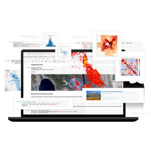
Perform powerful image and raster analytic workflows at scale. Benefit from an intuitive web experience or opt for a rich ArcGIS API for Python that provides the flexibility to develop custom raster functions. Take advantage of our integration with open source AI tools and frameworks to perform pixel classification, object detection, and object classification.
Host imagery
Upload imagery and rasters into ArcGIS Online for secure storage and management.
Stream imagery
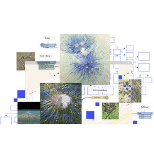
Stream intelligent tiled imagery that’s performant and analysis ready. Serve dynamic imagery that offers on-the-fly processing and dynamic mosaicking.
Analyze imagery
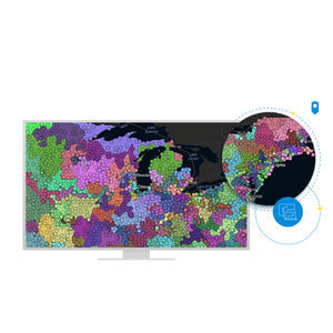
Make sense of imagery and raster collections to understand climate change, urban sprawl, agriculture production, and more.
VIDEO
Catalogs
ArcGIS Aviation Airports
2 Pages
Other ENVIRONMENTAL SYSTEMS RESEARCH INSTITUTE, INC. products
Products
Related Searches
- Esri aeronautic software
- Airport software
- Real-time software
- Process software
- Maintenance software
- 3D software
- Online software
- Tracking software
- 2D software
- Web-based software
- Mapping software
- Server software
- Image analysis software
- Collaborative software
- GPS software
- Interoperability software
- Flight analysis software
- LIDAR software
- Administration software
- Advertising software
*Prices are pre-tax. They exclude delivery charges and customs duties and do not include additional charges for installation or activation options. Prices are indicative only and may vary by country, with changes to the cost of raw materials and exchange rates.


