- Drones
- Professional drone
- Professional UAV
- Draganfly Drones
Professional UAV Quantix aerial photographymappingfixed-wing
Add to favorites
Compare this product
fo_shop_gate_exact_title
Characteristics
- Domain
- professional
- Applications
- aerial photography, mapping
- Type
- fixed-wing
- Engine type
- electric motor
- Autonomy
45 min
- Maximum altitude
2,286 m
(7500'00" )
Description
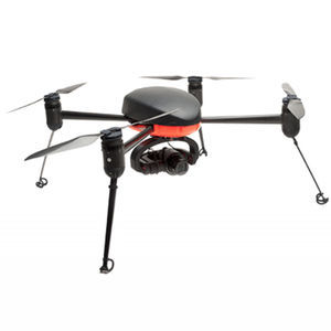
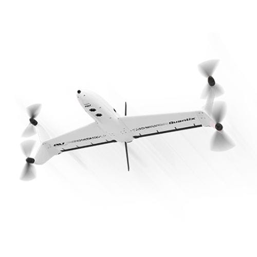
Quantix Mapper is a simple, capable, fully-automated drone that’s designed to be easy to use. Its vertical take-off and landing (VTOL) allows users to launch the drone vertically and seamlessly transition to horizontal flight, maximizing efficiency and range. Built-in dual 18MP cameras capture high-res RGB and multispectral images to provide 4x the coverage of most UAVs.
Imaging Speed 45 mph (20 m/s)
Wind Limits 20 mph (9 m/s)
Data Storage On-board SD card
Communications 900 MHz Encrypted & Wifi
Operating Temperature 0-120°F
Catalogs
*Prices are pre-tax. They exclude delivery charges and customs duties and do not include additional charges for installation or activation options. Prices are indicative only and may vary by country, with changes to the cost of raw materials and exchange rates.


