- Drones
- Professional drone
- Professional UAV
- Draganfly Drones
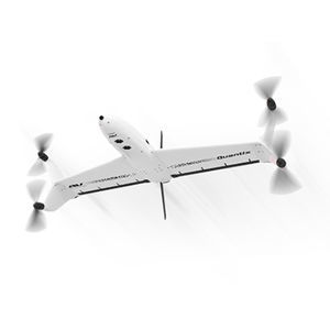
Professional UAV X4-Paerial photographymappingagricultural
Add to favorites
Compare this product
Characteristics
- Domain
- professional
- Applications
- aerial photography, mapping, agricultural, search and rescue
- Type
- quadrotor, helicopter
- Engine type
- electric motor
- Maximum load
1 kg
(2.2 lb)- Autonomy
35 min
Description
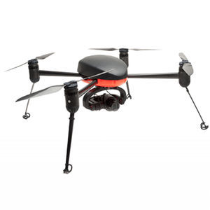
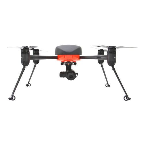
With automatic take-off and manual flight navigation, this quadcopter is designed for line-of-sight flying. Pilots can leverage the system’s GPS-assisted flight mode or optional Surveyor software, which enables an automated grid flight mode. The Draganflyer X4-P is ideal for public safety, Ag-Pro, mapping, and photography.
The Draganflyer Commander is a high endurance, dual battery, small Unmanned Aerial System (sUAS). The dual battery system provides extended flight time and increased safety. The Commander is ideal for Agriculture applications covering 100 acres on a single charge or Surveying, Aerial 3D modeling, Mapping, Search and Rescue or high endurance Public Safety applications.
Terrain Sensor:
A sophisticated terrain sensor is integrated into the aircraft to automatically perform precise take-off and landing procedures. The autopilot, terrain sensor and precision barometric pressure sensor work in concert with each other providing one of the finest altitude control system systems on the market.
Battery APP:
The status of a battery sitting on a shelf is often a mystery but no more. Commander flight packs feature a wireless interface so simply placing your Android device over the battery will bring up the current status, health, and battery history.
Fail safe systems:
In the event of an excessively low battery condition or lost data link the helicopter will “auto-land” or “return to home” (RTH). RTH altitude is pre-programmed by the pilot in command to avoid unique obstacles for any given flight. The RTH flight path is a direct route to automatically land at the original take-off zone but at anytime, the pilot has the ability to manually take over.
Catalogs
No catalogs are available for this product.
See all of Draganfly Drones‘s catalogs*Prices are pre-tax. They exclude delivery charges and customs duties and do not include additional charges for installation or activation options. Prices are indicative only and may vary by country, with changes to the cost of raw materials and exchange rates.


