- Drones
- Professional drone
- Professional UAV
- DELAIR-TECH
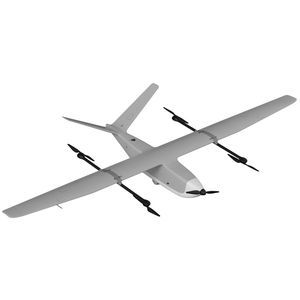
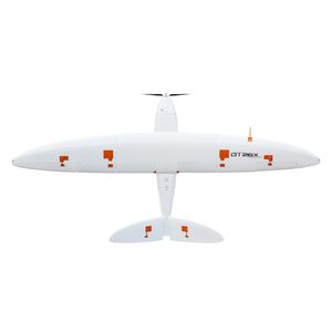
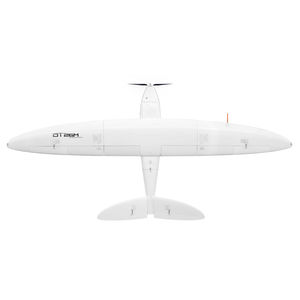
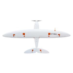
Professional drone UX11 mappingfixed-wing

Add to favorites
Compare this product
Characteristics
- Domain
- professional
- Applications
- mapping
- Type
- fixed-wing
- Autonomy
80 min
- Maximum altitude
5,000 m, 6,000 m
(16404'02" , 19685'00" )
Description
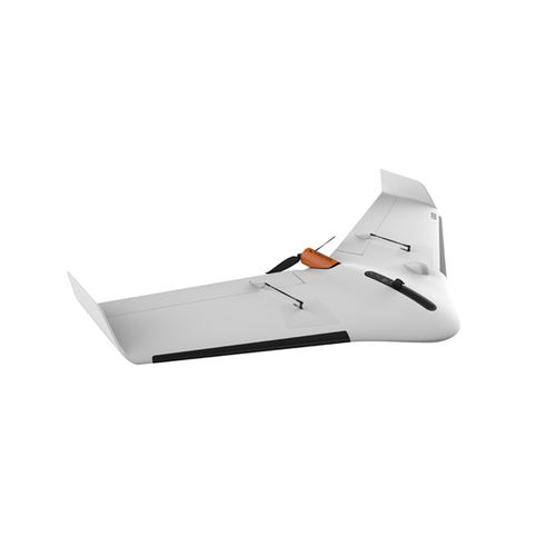
The Delair UX11 is a fixed-wing professional mapping drone offering significant productivity gains, unprecedented ease of use and high quality aerial data acquisition.
The Delair UX11 is an ideal drone solution for highly precise and easy mapping. It delivers integrated features for before, during and after flight operations, including an embedded global shutter camera, centimeter-level precision GNSS sensor, post processed kinematic (PPK) capabilities for survey-grade results, and both 2.4 GhZ wireless and 3G/4G cellular connectivity to operate anywhere. The drone’s operational performance (allowing flights of up to 59 minutes covering over 300 acres at 400 feet) significantly lower the total cost of ownership compared to other surveying and mapping options.
The UX11 is very productive thanks to its 59 min flight endurance combined with long flying range (53 km/33 mi). No need to sacrifice resolution for productivity when you can have both. In one single flight, you can map 300 ac / 120 ha at 400 ft / 120 m and get a 1.7 cm GSD.
You can fly our professional mapping drone anywhere: the Delair UX11 is always connected through both a cellular connectivity (3G/4G) and a radio link with the Delair Link ground station (2.4 GHz). It's also one of only a few BVLOS-ready UAVs. Delair Link offers up to 4 mi / 6.4 km range in FCC regions and 2 mi / 3.2 km in CE regions.
Best-in class and fully integrated camera
The Delair UX11 onboards a global shutter, fully-integrated industrial-grade RGB camera designed by Delair offering 1 cm GSD imagery.
VIDEO
Catalogs
Delair UX11
2 Pages
*Prices are pre-tax. They exclude delivery charges and customs duties and do not include additional charges for installation or activation options. Prices are indicative only and may vary by country, with changes to the cost of raw materials and exchange rates.


