Flight planning software DatuFlyfor mappingfor drones3D

Add to favorites
Compare this product
Characteristics
- Function
- flight planning, for mapping
- Applications
- for drones
- Type
- 3D
- Deployment mode
- for tablet computers
Description
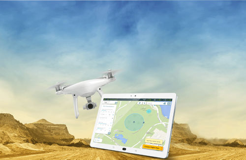
FLIGHT PLANNING DRONE APP FOR HIGH RESOLUTION PHOTOSHOOTING
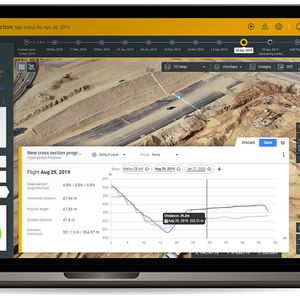
Designed for land surveying, construction and infrastructure mapping, DatuFly™ drone app optimizes flight and image capturing per job type. The image taking plan is executed based on DatuSurvey™ best practice requirements, for quick image linkage, geo-referencing and 3D models generation.
VIDEO
Catalogs
No catalogs are available for this product.
See all of Datumate‘s catalogs*Prices are pre-tax. They exclude delivery charges and customs duties and do not include additional charges for installation or activation options. Prices are indicative only and may vary by country, with changes to the cost of raw materials and exchange rates.


