
- Products
- Catalogs
- News & Trends
- Exhibitions
Calculation software LSALT/MEA for aeronauticsiPhone®
Add to favorites
Compare this product
fo_shop_gate_exact_title
Characteristics
- Function
- calculation
- Applications
- for aeronautics
- Deployment mode
- iPhone®
Description
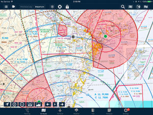
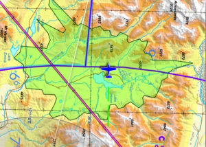
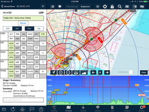
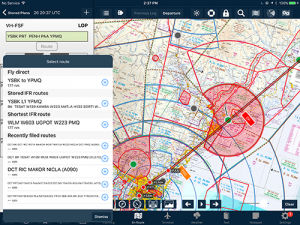
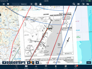
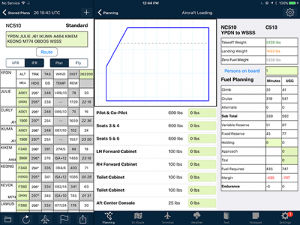
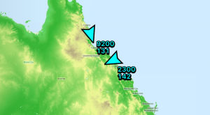
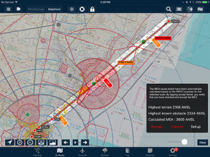
Display and calculate an LSALT/MEA for a route. This can be for a 7nm, 10nm or a traditional navaid-navaid route. AvPlan EFB will use its internal terrain and obstacle database to calculate and display the appropriate lowest safe altitude.
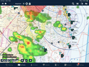
AvPlan EFB also displays the grid MORA as you flight plan and fly, based on a 10nm buffer around your flight path.
Related Searches
- Software for the aerospace industry
- Real-time software
- Airport software
- Online software
- Navigation software
- Mapping software
- Smartphone software
- Flight planning software
- Calculation software
- GPS software
- Meteorological software
- IPhone® software
- Flight analysis software
- Flight simulation software
- Piloting software
*Prices are pre-tax. They exclude delivery charges and customs duties and do not include additional charges for installation or activation options. Prices are indicative only and may vary by country, with changes to the cost of raw materials and exchange rates.


