
- Products
- Catalogs
- News & Trends
- Exhibitions
Geolocation software for airportiPhone®
Add to favorites
Compare this product
Characteristics
- Function
- geolocation
- Applications
- for airport
- Deployment mode
- iPhone®
Description
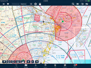
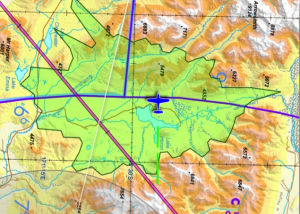
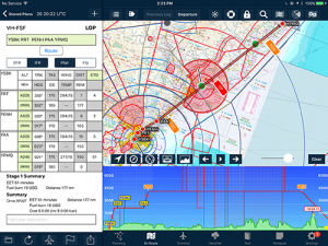
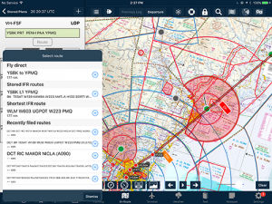
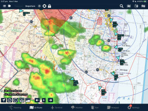
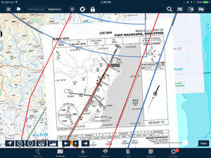
Overlay any geo-referenced approach plate on any map. Perfect for flying IFR with complex airspace, traffic or weather around your approach. Additionally, the airport diagram will appear on the map as you zoom into the airport.
Related Searches
- Software for the aerospace industry
- Real-time software
- Airport software
- Online software
- Navigation software
- Mapping software
- Smartphone software
- Flight planning software
- Calculation software
- GPS software
- Meteorological software
- IPhone® software
- Flight analysis software
- Flight simulation software
- Piloting software
*Prices are pre-tax. They exclude delivery charges and customs duties and do not include additional charges for installation or activation options. Prices are indicative only and may vary by country, with changes to the cost of raw materials and exchange rates.


