Aircraft flight management system Helios™CDUtouch screen
Add to favorites
Compare this product
Characteristics
- Domain
- for aircraft
- Type of interface
- CDU
- Other characteristics
- touch screen
- Size
5.7 in
Description
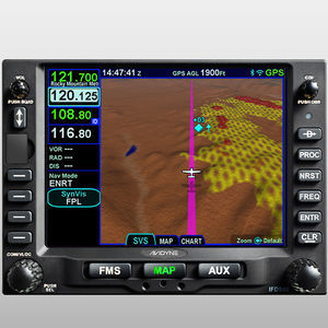
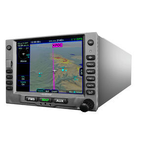
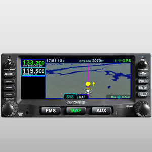
Helicopters require avionics specifically designed for the unique rigours of corporate, military and special mission rotary-wing flight which is why we created Avidyne Helios. Helios is a new multifunction Satellite-Based Augmentation System (SBAS) flight management system that provides full Required Navigation Performance (RNP) and Area Navigation (RNAV) capability, including Localizer Performance with Vertical (LPV), Lateral Navigation/Vertical Navigation (LNAV/VNAV), LNAV-Only, and Approach Procedures with Vertical (APV) approach modes in a dzus-mount.
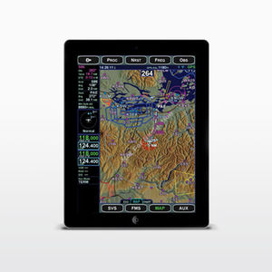
But true capability required ease-of-use which is why we built-in features like easy flight planning, one-touch departure, airway, and arrival navigation, and included our patented GeoFill™ waypoint nomination. We even included a full keyboard and touch-screen input for easy map panning and flight plan editing.
Features
TSO-C146c for full SBAS/LPV approach guidance
Display of XM or ADS-B weather with full graphics overlay
Displays Jeppesen™ Electronic Approach Charts and Airport Diagrams including Heliports
QWERTY-style dedicated keyboard along with touch-screen hybrid touch user interface
Traffic display from TCAS, TAS, or ADS-B
Electronic Approach Charts & Airport Diagrams
Integrated Jeppesen’s chart services display charts, airport diagrams and include a geo-referenced overlay of present position and current flight plan reducing pilot workload.
Integrated VHF Communication & Navigation
Helios provides an optional integrated VHF COM & NAV radio in the same small enclosure. The VHF NAV provides VOR navigation, as well as localizer and glideslope approach capability.
Catalogs
No catalogs are available for this product.
See all of Avidyne‘s catalogsRelated Searches
*Prices are pre-tax. They exclude delivery charges and customs duties and do not include additional charges for installation or activation options. Prices are indicative only and may vary by country, with changes to the cost of raw materials and exchange rates.


