
- Products
- Catalogs
- News & Trends
- Exhibitions
Airport weather station RWISembedded

Add to favorites
Compare this product
fo_shop_gate_exact_title
Characteristics
- Applications
- for airport
- Other characteristics
- embedded
Description
SARSYS-ASFT’s RWIS, Road/Runway Weather Information System, is a complete and computerized technology for weather and surface condition assessment developed to increase safety, reduce costs for maintenance and lower environmental impact. The system is designed for a global market and specialized for regions where weather typically changes with the seasons. RWIS connects to SARSYS-ASFT’s software MIDAS, together they also facilitate the process of filling out the GRF.
How does RWIS work?
Safety is the primary objective for airports and runways all over the world. In this context, and in any other, weather is a major, unpredictable variable. Heavy winds, rain, snow, hail, ice and poor visibility make weather management a key component for any runway operator.
RWIS is your surveillance system that uses sensors and subsystems to monitor and send out early warning signals before conditions become critical.
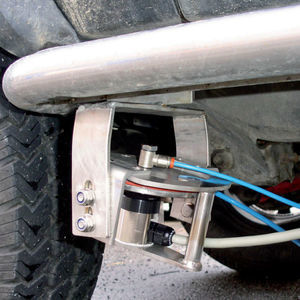
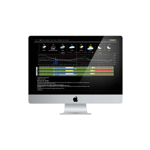
The computerized weather system of RWIS consists of sensors, fixed stations and dataloggers that communicate with interface MIDAS. Embedded sensors detect surface temperature, surface freezing point, and type and depth of contamination. Fixed weather stations collect data on air temperature, wind direction, humidity and gives a visual image. The camera adds a dimension making it possible to see the precipitation in real time. Dataloggers compile all data into the back-end server before it reaches the operator via MIDAS.
VIDEO
*Prices are pre-tax. They exclude delivery charges and customs duties and do not include additional charges for installation or activation options. Prices are indicative only and may vary by country, with changes to the cost of raw materials and exchange rates.


