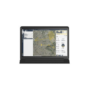
Management software reportingcontrolquality
Add to favorites
Compare this product
Characteristics
- Function
- management, reporting, control, quality, analysis, access control, tracking, process
- Applications
- for aeronautics, for drones
- Type
- 3D, 2D
Description
Complete software platform for drones.
Everything you need to automate your UAS operations, manage equipment and teams, fly safely, and analyze your data on our cloud-based platform and mobile app. Mapping powered by PIX4Dengine.
Actionable aerial intelligence, right at your fingertips
Autonomous flight control and data collection
Plan and manage flight operations from our cloud-based web platform.
Fly with GPS-aided manual control or automated grid and waypoint patterns.
Automatically sync web-created flight plans to our mobile flight app.
Automatically upload flight logs, images, and data.
Block DJI data-sharing; request and apply DJI GEO Unlock.
Check airspace and weather conditions.
Program management & compliance
Plan missions, track program activity, and manage operations on our cloud-based platform.
Create a grid or waypoint flight plan by uploading a KML file.
Access detailed flight log information like screenshots, flight playback, and flagged incidents.
Employ equipment management with automatic usage tracking.
Program activity reporting.
User management with permission-based access control.
Data processing and analysis
Process imagery into high-quality data products powered by the industry leader in photogrammetry, Pix4D.
Increase image processing accuracy with RTK drone data. Upload ground control points (GCPs) with your maps for increased accuracy.
Create orthomosaics, digital surface models, contour and multispectral maps.
View, export and share your 2D and 3D data files on an interactive, account-wide map.
Measure linear distance and area.
Benefit from multispectral data processing and analysis.
Catalogs
No catalogs are available for this product.
See all of AgEagle‘s catalogs*Prices are pre-tax. They exclude delivery charges and customs duties and do not include additional charges for installation or activation options. Prices are indicative only and may vary by country, with changes to the cost of raw materials and exchange rates.


