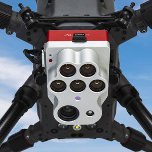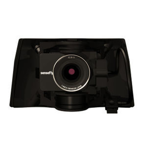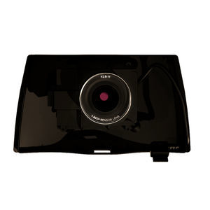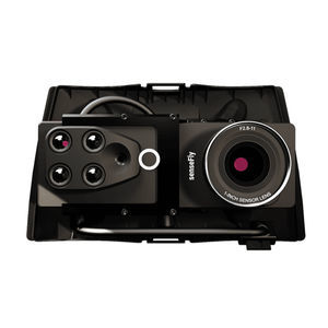
Aerial photography camera Corridorfor drones
Add to favorites
Compare this product
fo_shop_gate_exact_title
Characteristics
- Type
- aerial photography
- Applications
- for drones
Description
Portrait-oriented camera for optimized linear mapping
The Corridor is a combined S.O.D.A. and eMotion software solution that makes corridor mapping easy. With its portrait camera position, it requires 30% fewer images to map the same linear route. This also means 30% shorter image processing times after your flight.
Achieve higher ground resolutions
A vertical camera position lets you fly closer to the ground while still achieving the image overlaps your digital outputs require. The result is lower ground resolutions down to 1.5 cm / 0.6 in per pixel.
Easier linear mapping
eMotion’s corridor mapping mission block makes linear mapping jobs easier than with any other solution.
Catalogs
No catalogs are available for this product.
See all of AgEagle‘s catalogs*Prices are pre-tax. They exclude delivery charges and customs duties and do not include additional charges for installation or activation options. Prices are indicative only and may vary by country, with changes to the cost of raw materials and exchange rates.


