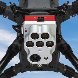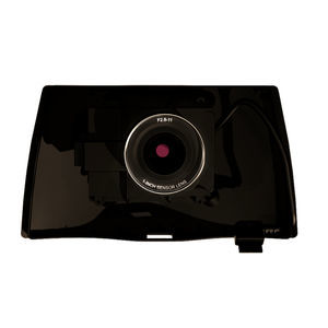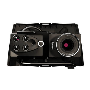
Security camera S.O.D.A. 3Dfor drones
Add to favorites
Compare this product
fo_shop_gate_exact_title
Characteristics
- Type
- security
- Applications
- for drones
Description
Photogrammetry sensor optimized for 3D mapping applications
The S.O.D.A. 3D mapping camera is a professional drone photogrammetry camera that changes orientation during flight to capture three images (2 oblique, 1 nadir) every time, instead of just one, for a much wider field of view.
Stunning 3D reconstructions
Wide field of view ensures excellent 3D mapping results in vertically-focused environments.
Optimized for quick, robust image processing with PIX4Dmapper.
Direct in-flight georeferencing
Records the GPS position and exact orientation of S.O.D.A. 3D at each capture location.
Less image overlap is required, enabling greater flight coverage and quicker image processing.
Improved reconstructions over difficult environments (water, forests etc.).
Vast mapping coverage
Vast mapping coverage over flat, homogenous terrain (up to 500 ha per 122 m / 1,235 ac per 400 ft flight, eBee X with endurance extension).
Optimized for quick, robust image processing with PIX4Dmapper.
Explore real S.O.D.A. 3D data
Refer to the downloads below to test S.O.D.A 3D data in your workflow or to explore the data with the tools you already use.
Catalogs
No catalogs are available for this product.
See all of AgEagle‘s catalogsRelated Searches
*Prices are pre-tax. They exclude delivery charges and customs duties and do not include additional charges for installation or activation options. Prices are indicative only and may vary by country, with changes to the cost of raw materials and exchange rates.


