Portable GPS FireNavfor aircraftprecision agriculture
Add to favorites
Compare this product
Characteristics
- Options
- portable
- Domain
- for aircraft
- Other characteristics
- precision agriculture
Description
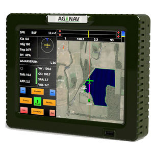
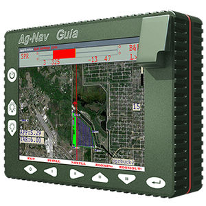
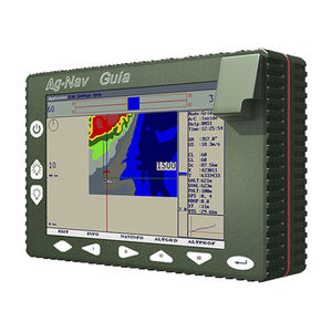
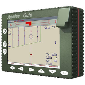
The FireNav is a precision navigation system designed for aerial fire fighting.
A Team Effort
Firefighting is often a team effort which is why the FireNav lets you keep track of other aircraft in real time. The birddog or firebird can make a drop line or hotspot that will be sent to all tankers and shown up on screen for guidance. Keeping track of your team is very important for effectiveness and safety.
A Safer Job
Firefighters normally work in a very poor conditions. That is why the FireNav has included safety features. Proximity warnings let you know when you’re too close to other airplanes and when air collision might happen. As well, flight data can be analyzed in office to see mistakes in flight and give ideas for areas of improvement.
Higher Effectiveness
The FireNav increases your next job’s effectiveness in a number of ways. It displays all drop lines and locations where previous drops have been made; thus avoid misunderstanding from voice communications where to drop retardant. It also includes countdown time indication for when the pilot reaches the target.
Catalogs
No catalogs are available for this product.
See all of AG-NAV‘s catalogsRelated Searches
*Prices are pre-tax. They exclude delivery charges and customs duties and do not include additional charges for installation or activation options. Prices are indicative only and may vary by country, with changes to the cost of raw materials and exchange rates.


