Portable GPS PhotoNavfor aircraftprecision agriculture
Add to favorites
Compare this product
fo_shop_gate_exact_title
Characteristics
- Options
- portable
- Domain
- for aircraft
- Other characteristics
- precision agriculture
Description
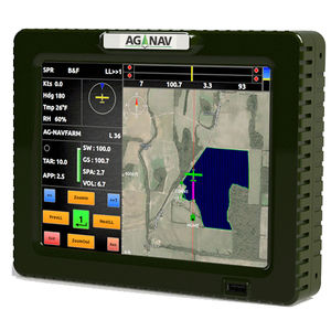
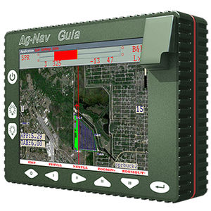
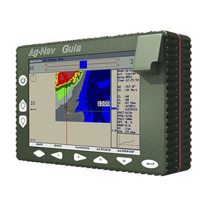
The PhotoNav is a precision navigation system designed specifically for photogrammetry applications.
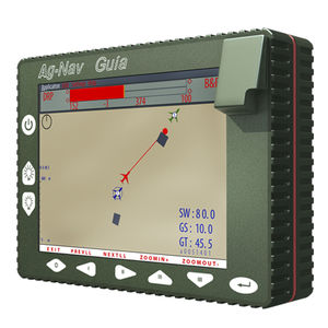
The PhotoNav system is designed to accurately guide pilot to fly the preplanned flight lines and at the same time trigger the camera when the aircraft is closest to a target camera point. You can define manually the locations of camera points; or let the PhotoNav to generate the camera points automatically on the flight lines based on the predefined distance between points. Up to 10,000 camera points can be set up for each survey area. In PhotoNav, the camera can be triggered by 5v pulse, 50ms pulse width; or closure of contacts.
All flight path, camera points and fired points are recorded for flight replay and mission analysis.
Catalogs
No catalogs are available for this product.
See all of AG-NAV‘s catalogsRelated Searches
*Prices are pre-tax. They exclude delivery charges and customs duties and do not include additional charges for installation or activation options. Prices are indicative only and may vary by country, with changes to the cost of raw materials and exchange rates.


