Portable GPS LiNavfor aircraftprecision agriculture
Add to favorites
Compare this product
fo_shop_gate_exact_title
Characteristics
- Options
- portable
- Domain
- for aircraft
- Other characteristics
- precision agriculture
Description
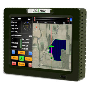
The LiNav is a precision navigation system designed for aerial surveying.
Plan Your Flight
LiNav features pre-flight planning and training programs. This allows you to set up your survey area and parameters before your flight. The Training program gets you familiar with the system, learn all tasks you will do, prepare for the flight and fly with confidence.
Precise Guidance
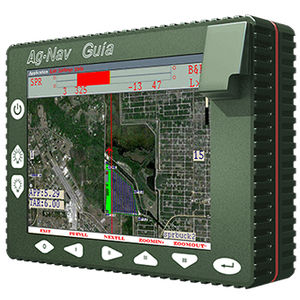
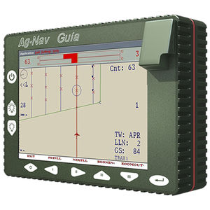
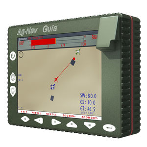
With accurate DGPS data, LiNav keeps pilots on track with its four flying modes and attachable lightbars. It features 3D guidance and altitude profile display along the target flight line. It also displays on screen the information related to your surveying application.
Powerful Software
The LiNav software has proven to be user-friendly and successful in the aerial surveying industry for 30 years. LiNav outputs customized data to data acquisition system; and can record flight data for merging with your survey data for post flight analysis.
Catalogs
Related Searches
*Prices are pre-tax. They exclude delivery charges and customs duties and do not include additional charges for installation or activation options. Prices are indicative only and may vary by country, with changes to the cost of raw materials and exchange rates.


