- Products >
- Meteorological data data link system
Meteorological data data link systems
{{product.productLabel}} {{product.model}}
{{#if product.featureValues}}{{product.productPrice.formattedPrice}} {{#if product.productPrice.priceType === "PRICE_RANGE" }} - {{product.productPrice.formattedPriceMax}} {{/if}}
{{#each product.specData:i}}
{{name}}: {{value}}
{{#i!=(product.specData.length-1)}}
{{/end}}
{{/each}}
{{{product.idpText}}}

... as well as southern Canada. (See coverage map.) Choose from available SiriusXM Aviation weather packages that provide METAR data and animated NEXRAD imagery as well as current reports on precipitation, lightning, winds ...

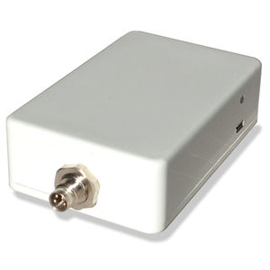
ADL140Radar images on moving mapInfrared images on moving mapStrike images on moving mapRadar and strike animationMETAR/TAFColor coded approach minimaWind & Temperatures aloftSend and receive text/SMSLive trackingWiFi Interface for iPad/iPhone ...
Golze Engineering

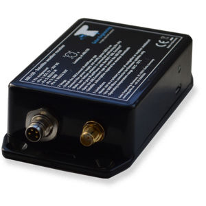
ADL150Radar images on moving mapInfrared images on moving mapStrike images on moving mapRadar and strike animationMETAR/TAFColor coded approach minimaWind & Temperatures aloftSend and receive text/SMSLive trackingWiFi Interface for iPad/iPhone ...
Golze Engineering
Your suggestions for improvement:
the best suppliers
- Brand list
- Manufacturer account
- Buyer account
- Our services
- Newsletter subscription
- About VirtualExpo Group


Please specify:
Help us improve:
remaining