Maximum load: 7.5 lb
Autonomy: 45 min
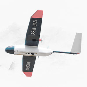
The Eagle XF package is available as a completely assembled, flight tested ready to fly (RTF) platform (Just quick connect the landing gear, insert batteries, run preflight and fly) or as bind and fly (you provide batteries and radio/receiver).Included ...
UAV-America, Inc.
Maximum load: 20 lb
Maximum altitude: 4,500 m
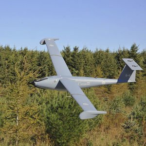
From the ground up, the BAS aircraft Model “TD100” is an outstanding piece of purpose-built engineering. Every aspect of this remotely piloted aircraft system (RPAS) has been designed with the same attention to detail and rigour as a ...
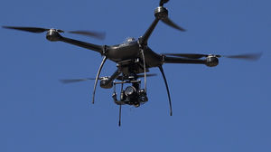
Maximum load: 10 kg
Lightweight mapping drone for large coverage and sharp data eBee X offers 90-minute flights, RTK, PPK, online training, eMotion flight planning software, and more. Perform professional mapping ...
senseFly

Maximum load: 2 kg
... dimensions, the XENA is a vigorous drone allowing numerous possibilities. It can lift up to 2 Kg of effective payload. The XENA is a strong coaxial octorotor drone capable of flying up to 37 min. ...
AltiGator
... high-resolution terrain mapping and precise aerial assessments. Data will be processed into useful visualizations of large land area. Decision makers can respond to threats and manage land to optimize output. Inventory ...

Maximum load: 250 g
Autonomy: 25 min
... stitching software that would allow high-res mapping images taken during a flight to be stitched and processed in a fraction of the time it takes currently. THE MATRIX RTK PACKAGE INCLUDES: MATRIX RTK UAS 3-Axis ...
Xcraft
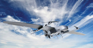
Maximum load: 15 kg
Autonomy: 24 h
Maximum altitude: 6 km
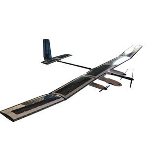
The SOLARIS and STRATOS are advanced civilian HAPS (High Altitude Pseudo Satellite) UAV systems that offer a low-cost alternative to conventional satellites. With an operational range of 200 km LOS (extendable to +1000 ...

Maximum load: 30.4 kg
Autonomy: 55 min
Maximum altitude: 30 km
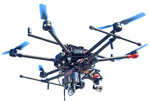
A heavy-duty industrial UAV designed to enhance deliveries and flight times. Lift More & Fly Further The Draganfly Heavy Lift Drone is a versatile, multi-rotor unmanned aerial vehicle (UAV), ...
Draganfly Drones

Autonomy: 50, 32 min
... flight time of a fixed wing but the precision of a quadcopter. The capture resolution of a quad copter allowing precision mapping of more complex areas such as construction sites and open mines. With the Long Range FPV ...

Autonomy: 15 min
Weather Ruggedised Body Strong molded body to protect electronics and internals in light rain and snow. Durable, UV stable with impact protection, and also has air vents for cooling but do not allow water to enter. Optional Parachute ...
Aeronavics

Maximum load: 2 kg
Autonomy: 180 min
... high-performance fixed wing team that allows you to cover large mapping extensions thanks to its autonomy and ease of use. The equipment is multisensor allowing to ship photographic sensors for terrain mapping, ...
Unmanned Aerial Vehicles (UAVs) are aerial systems capable of performing various tasks independently or under the remote control of a human operator. UAVs have become indispensable elements of modern ...
Geo-MMS, together with heavy-payload, low-cost drones and the opening of the civil airspace by the FAA has created an opportunity for significant data collection cost savings in a wide range of industries
the best suppliers
Please specify:
Help us improve:
remaining