- Drones >
- Professional drone >
- Fixed-wing UAV
Fixed-wing UAVs
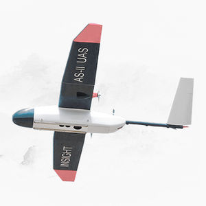
The intelligent, precise and best value aerial survey and insight solution for plantation management At Insight Robotics, we provide intelligent plantations and agriculture-focused risk management services for precise and early detection ...

Maximum load: 1,350 g
Autonomy: 20 min
... The first drone we ever built, the XPlusOne was a first-of-it’s-kind VTOL aircraft. The drone would take off and land vertically, using all 4 props as a quad-copter, before transitioning into horizontal ...
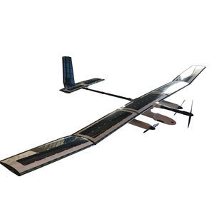
Maximum load: 15 kg
Autonomy: 24 h
Maximum altitude: 6 km
The SOLARIS and STRATOS are advanced civilian HAPS (High Altitude Pseudo Satellite) UAV systems that offer a low-cost alternative to conventional satellites. With an operational range of 200 km LOS (extendable to +1000 ...
Integrated Dynamics

Maximum load: 3.5 kg
Autonomy: 3 h
... quality stabilized videos. The plane is made of COTS (Commercial Of The Shelf) materials and adapted to become a complete UAV. The composite and EPO structure provide a very lightweight plane that can be hand-launched. ...
Airelectronics

Maximum load: 9.5 kg
Avartek AR-3000 UAV System is the civil version of our military target drone AT-04. Main differences between these two siblings is that AR-3000 is designed for much slower airspeeds and to carry payloads ...
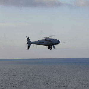
Maximum load: 34 kg
Autonomy: 6, 10 h
Maximum altitude: 200 km
Schiebel’s CAMCOPTER S-100 Unmanned Air System (UAS) is a proven capability for military and civilian applications. The Vertical Takeoff and Landing (VTOL) UAS needs no prepared area or supporting launch ...
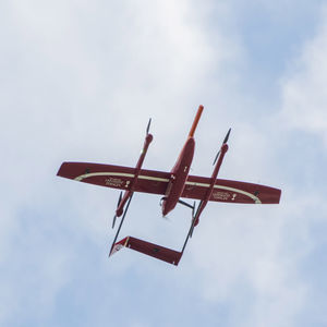
Maximum load: 3 kg
Autonomy: 180 min
Maximum altitude: 20 km
Multipurpose platform with vertical take-off and landing capabilities. – Take-off and landing is performed in so called VTOL mode. Easy, fast and practical take-off and landing. – VTOL mode requires only a small space for take-off and ...
ELEVONX

Maximum load: 2 kg
Autonomy: 59 min
Maximum altitude: 60 km
... landing maneuverability of multirotor drones with the increased payload capacity and endurance of fixed-wing UAVs. FIXAR XGROUND CONTROL SOFTWARE The closed-source ...
FIXAR
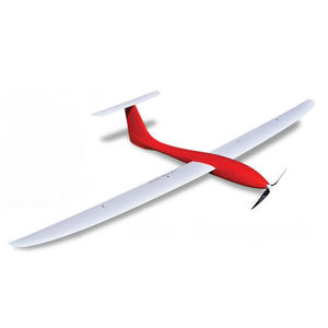
Maximum load: 7 lb
Autonomy: 90 min
UNMANNED FIXED WING DRONE The Tempest was designed and engineered by Skip Miller Consulting specifically for the University of Colorado. The plane fit the University’s requirements for ...
UASUSA

Maximum load: 5 kg
Autonomy: 120 min - 150 min
Maximum altitude: 0'00" ft - 5000'00"
Small electric < 7kg MTOW Fixed Wing (FW) Remotely Piloted Aircraft System (RPAS) for Broad-Area (600 – 1500 hectares a mission to cm resolution), short-range (1-10km) survey and mapping solution. Development The ...
V-TOL Aerospace

Maximum load: 20 kg
Autonomy: 648 min
Maximum altitude: 5,000 m
Mapping, Photography and aerial surveillance • Type: powered fixed wing (wingspan 4,000mm (157.48”) • Other characteristics: Take off runway 20-50M • Power plant: single motor gas 100cc • Flight ...
Challenger Aerospace Systems

Maximum load: 10 kg
Autonomy: 90 min
... compliant mapping drone Designed to provide 1.5 cm / 0.6 in of absolute accuracy with available RTK / PPK and to cover an area up to 500 ha / 1,235 ac. Offering up to 90 minutes of flight time, the 1.6 kg / 3.6 lbs ...
AgEagle
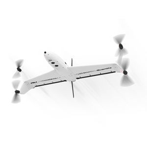
Autonomy: 45 min
Maximum altitude: 2,286 m
Quantix Mapper is a simple, capable, fully-automated drone that’s designed to be easy to use. Its vertical take-off and landing (VTOL) allows users to launch the drone vertically and seamlessly transition ...
Draganfly Drones
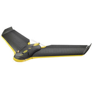
Maximum load: 200 g
Autonomy: 35 min
Maximum altitude: 3,000 m
Baaz is a fully autonomous Mini Unmanned Fixed Wing aircraft. It is capable of carring a 200 gram payload or camera without gimbal and is ideally suited for surveying work. The payload is a day still ...
OM UAV Systems

Maximum load: 0.9 lb
Autonomy: 60 min
An entry-level all electric aircraft with a two pound payload capacity and one hour of endurance.
Latitude Engineering

Maximum load: 2 kg
Autonomy: 180 min
Our high-performance fixed wing team that allows you to cover large mapping extensions thanks to its autonomy and ease of use. The equipment is multisensor allowing to ship photographic sensors for terrain ...
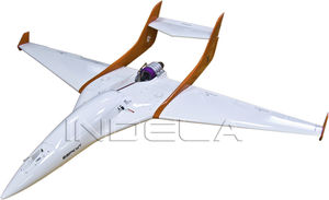
Autonomy: 30 min
Maximum altitude: 50 m - 3,500 m
airborne target robotic complex «BERKUT» is designed for performance of a wide range of tasks: - flying around anti-aircraft missile systems (AAMS) with the aim of training the crew in working conditions for various types of targets; - ...
Indela
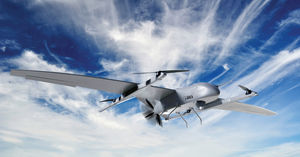
Unmanned Aerial Vehicles (UAVs) are aerial systems capable of performing various tasks independently or under the remote control of a human operator. UAVs have become indispensable elements of modern ...
Your suggestions for improvement:
the best suppliers
Subscribe to our newsletter
Receive updates on this section every two weeks.
Please refer to our Privacy Policy for details on how AeroExpo processes your personal data.
- Brand list
- Manufacturer account
- Buyer account
- Our services
- Newsletter subscription
- About VirtualExpo Group


Please specify:
Help us improve:
remaining