- Software - Simulation >
- Software >
- Cloud software
Cloud software
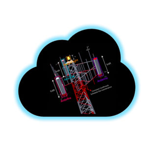
Our Cloud Service stores and processes the 3D point clouds and annotations to facilitate rich intelligent 3D models, making them available in near realtime to customers.
BrashTech

... drone test areas wishing to implement U-Space and UTM Airspace or deploy specific drone operations. The unique complete Software and Hardware solution to enable complex drone operations such as BVLOS missions Decisive ...

... them to produce this information accurately, reliably and efficiently. The inforMET software application is such a tool. The primary function of the inforMET software is to maximize the productivity ...
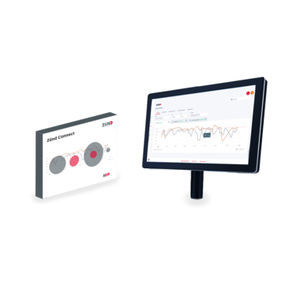
The Zünd Connect monitoring tool helps users recognize potential areas for optimizing the digital cutting process. Zünd Connect compiles production data from integrated cutting systems into meaningful key performance indicators, such ...
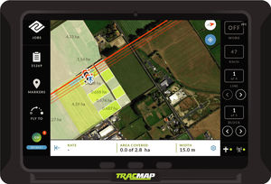
... Topo maps Operate fully from the stick The TracMap system comprises of our in-cab TML GPS, seamlessly linked to our cloud based job management platform called TracMap Online. The intuitive, touch screen GPS will ...
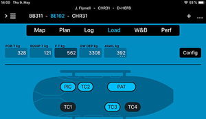
Set up seats and stretchers, add your rescue, medical or any other gear you use and create equipment configurations for any helicopter and mission you fly. A crew database supports quick selection of flight crews as well as medical, ...

Real-time alerts: SMS, Email, API Automatic or manual intrusion blocking On-premise or cloud operation Integration with other systems
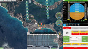
... participation, UAV cloud monitoring and data sharing and distribution can be realized in coopera-tion with internet or IDS device. Free switching among the online and offline Google map, road net and ...

... The TracingDocs© EMD software exists in two versions: Locally, with a TITAN© secured server. Referenced with the NATO Enterprises file following a study by the Centre d’Identification des Matériels de la Défense. 100% ...
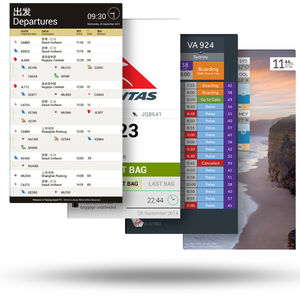
... them once they are connected to cloud. ACCESSIBLE Because the servers are hosted in Amazon Web Services' secure infrastructure, cloud can be accessed from anywhere, anytime from just about any device. MANAGEABLE cloud ...
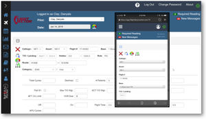
Flight & Duty Tracker™ is a full-featured, on-line pilot management system designed to ensure compliance with all FAR Part 135 regulations. Data can be uploaded from any web-enabled device and is used to manage duty time, rest periods, ...
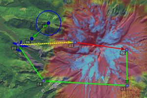
CLOUD CAP TECHNOLOGY VIEWPOINT TASE PAYLOAD USER INTERFACE SOFTWAREKey FeaturesClick map or video to autonomously point payload at specific GPS location on the groundMulti-camera picture-in-picture displayInteractive ...
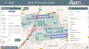
Lightweight, web based Aviation Client application for aeronautical information portrayal and visual data validation. It supports multiple map layers (for weather and terrain data) and provides a tool for spatial and temporal WFS 2.0 ...
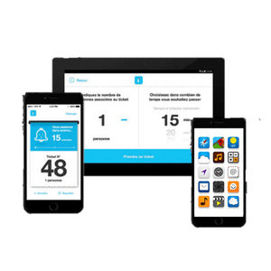
The visitor can take a digital ticket from different devices The mobile application or Lineberty Universal WebApp A terminal for taking SMS and / or paper tickets Third-party applications / websites thanks to the Lineberty APIs He has ...
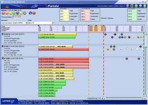
CAMO Web Interface (CAM) Reliable surveillance and control of continuous airworthiness: Flight data recording and monitoring of maintenance due dates and due items Flight data entry and monitoring via web and manual Compliance check ...
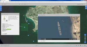
TerraLens Web is a powerful, flexible, open-standards based software foundation that allows developers to quickly add geospatial, mapping, and data-visualization capabilities to browser-based applications. TerraLens ...
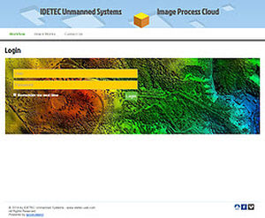
... hardware, software and human skills. It is a boring and sometimes tricky process. Our Image Process Cloud provides a unified platform to process images collected by any IDETEC UAS available on the market. ...

CloudAhoy is a product for post-flight debriefing, for pilots. It is cloud-based, and the debrief is done via a web service - on a desktop or laptop and in any browser on any device, on the iPad, or on the iPhone. CloudAhoy ...

Airport Operations Management in the cloud. The AMORPH.aero platform is designed for airport and terminal operators who require easy access to consistent and timely data for operations planning and management. AMORPH.aero ...

... Helix Point of Sale: a software for the management of a point of sale with operators. Helix Report e Statistiche: a reporting software for sales and access analysis purposes. Helix E-commerce: a software ...

... Enhanced passenger service with a seamless travel experience and reductions in lost and mishandled bags - Instant Access – software can be accessed via Internet using secure HTTPS and/or intranet OPERATIONAL BENEFITS - ...
Zafire Aviation Software Ltd
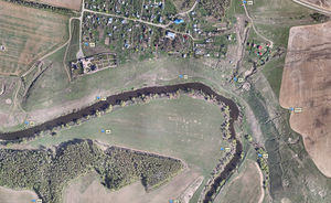
Agisoft Metashape is a stand-alone photogrammetric software solution It allows automatic generation of dense point clouds, textured polygonal models, georeferenced true orthomosaics and Digital Surface ...
AltiGator

Revolutionise the way your airline applications operate with Babel/ZIP – a middleware solution that allows for seamless execution on Common Use platforms without the need for costly modifications. With Babel/ZIP, you can drastically ...
Damarel Systems International

... of applications. Multiple Touchpoints The KCI Application framework can be deployed to any infrastructure environment: Cloud (Embross or client operated) On-Premises (client's existing infrastructure) or Hosted - ...
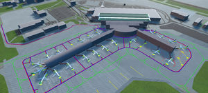
Create a 3D digital twin to visualise and optimise today's operations. Identify improvements by altering daily operations and explore how to | improve efficiency, safety, and profits. Auto-Sim can alsobe used for the simulation of other ...
Your suggestions for improvement:
the best suppliers
Subscribe to our newsletter
Receive updates on this section every two weeks.
Please refer to our Privacy Policy for details on how AeroExpo processes your personal data.
- Brand list
- Manufacturer account
- Buyer account
- Our services
- Newsletter subscription
- About VirtualExpo Group


Please specify:
Help us improve:
remaining